
Buttertubs Pass
The Buttertubs Pass is a high road in the Yorkshire Dales, England. The road winds its way north from Simonstone near Hawes towards Thwaite… Ler mais…


Adiciona Buttertubs Pass à Tua Viagem
Cria um itinerário de viagem detalhado com rotas inteligentes, estimativas de tempo e tudo o que precisas para uma viagem perfeita.




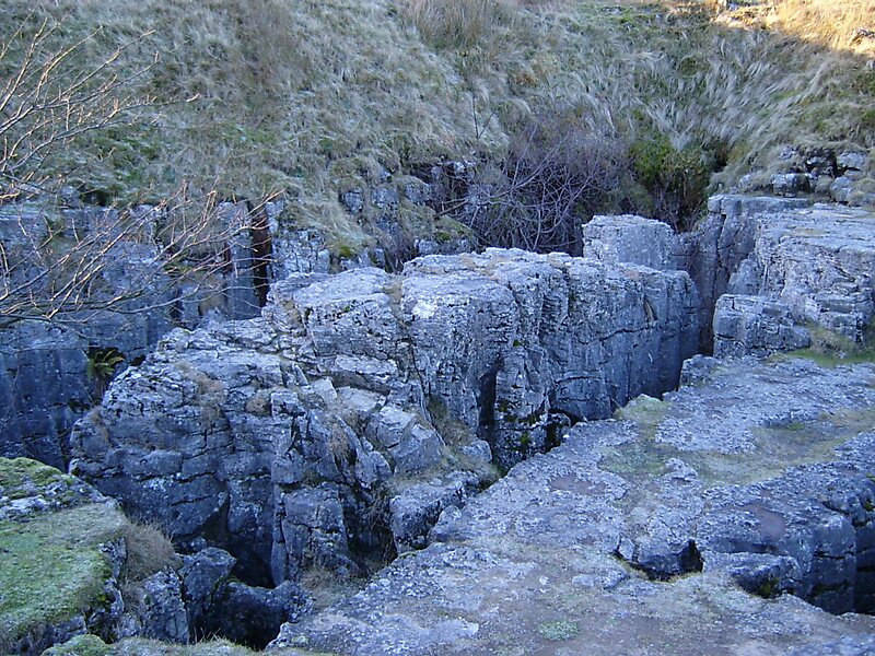
The Buttertubs Pass is a high road in the Yorkshire Dales, England. The road winds its way north from Simonstone near Hawes towards Thwaite and Muker past 20-metre-deep limestone potholes called the Buttertubs. It is said that the name of the potholes came from the times when farmers would rest there on their way to market. During hot weather they would lower the butter they had produced into the potholes to keep it cool.
The road is locally noted as a challenging cycle climb and featured as the second, and highest of three categorized climbs in Stage One of the 2014 Tour de France. The race was led over the climb by German veteran Jens Voigt, on his way to becoming the 2014 race's first wearer of the polka dot jersey as leader of the mountains classification.
Source: Wikipedia
Mais informações e contacto
Adiciona Buttertubs Pass à Tua Viagem
Cria um itinerário de viagem detalhado com rotas inteligentes, estimativas de tempo e tudo o que precisas para uma viagem perfeita.