Atherton Tableland
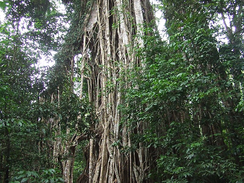
The Atherton Tableland is a fertile plateau which is part of the Great Dividing Range in Queensland, Australia.

Riverside Hotel

Atherton Tableland
2h

Corner Café
45 min
Riverside Hotel
Add Atherton Tableland to Your Trip
Create a detailed travel itinerary with smart routing, time estimates, and everything you need for a perfect trip.
3M+ downloads · 4.6 stars · 15 years of trip planning


More Information and Contact
Wikipedia en.wikipedia.org/wiki/Atherton_Tableland
Address 4885, Australia
Coordinates 17°24'35.559" S, 145°33'42.666" E
Riverside Hotel
Atherton Tableland
2h
Corner Café
45 min
Riverside Hotel
Add Atherton Tableland to Your Trip
Create a detailed travel itinerary with smart routing, time estimates, and everything you need for a perfect trip.
3M+ downloads · 4.6 stars · 15 years of trip planning