Kráľova hoľa
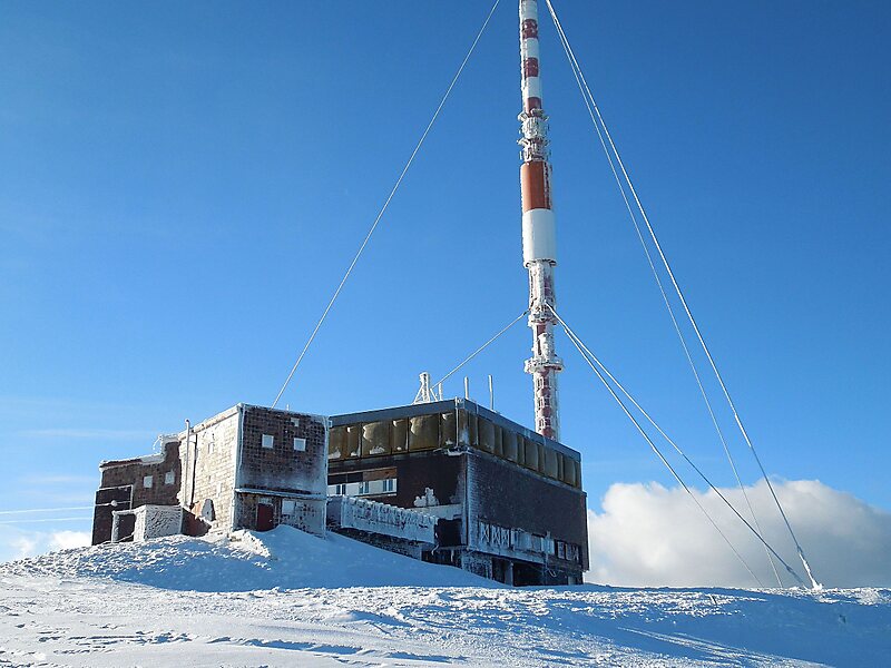
Kráľova hoľa is the highest mountain of the eastern part of the Low Tatras in central Slovakia.
peak

Riverside Hotel

Kráľova hoľa
2h

Corner Café
45 min
Riverside Hotel
Add Kráľova hoľa to Your Trip
Create a detailed travel itinerary with smart routing, time estimates, and everything you need for a perfect trip.
3M+ downloads · 4.6 stars · 15 years of trip planning


More Information and Contact
Address Kráľovohoľská cesta, 97671, Slovakia
Coordinates 48°52'58.085" N, 20°8'20.859" E
Riverside Hotel
Kráľova hoľa
2h
Corner Café
45 min
Riverside Hotel
Add Kráľova hoľa to Your Trip
Create a detailed travel itinerary with smart routing, time estimates, and everything you need for a perfect trip.
3M+ downloads · 4.6 stars · 15 years of trip planning