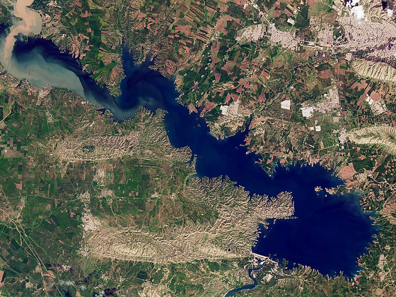
Mosul Dam, formerly known as Saddam Dam, is the largest dam in Iraq. It is located on the Tigris river in the western governorate of Nineveh, upstream of the city of Mosul. The dam serves to generate hydroelectricity and provide water for downstream irrigation. At full capacity, the structure holds about 11.1 cubic kilometres of water and provides electricity to the 1.7 million residents of Mosul.
The dam's main 750-megawatt power station contains four 187.5-megawatt Francis turbine–generators. A pumped-storage hydroelectricity power plant with a capacity of 250 megawatts and a run-of-the-river dam downstream with a 62-megawatt capacity also belong to the Mosul Dam scheme. It is the fourth largest dam in the Middle East, as measured by reserve capacity, capturing snowmelt from Turkey, some 70 miles north.Built in the 1980s on a karst foundation, concerns over the dam's instability have led to major remediation and rehabilitation efforts since the 2003 invasion of Iraq.

Wikipedia https://en.wikipedia.org/wiki/Mosul_Dam
Address Iraq
Coordinates 36°37'51.368" N 42°49'25.553" E