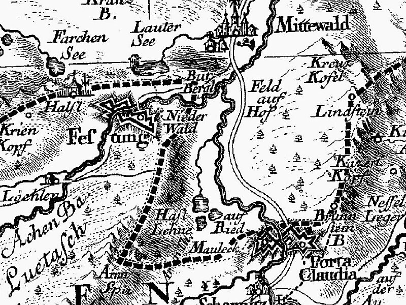
The Porta Claudia is a former fortification at the Scharnitz Pass, where the valley of the River Isar narrows near the village of Scharnitz, on the Bavarian border near Mittenwald. The Porta Claudia – or more precisely the Scharnitz Pass – is the start of the present federal highways, the B 2 and the B 177.
Download Download See more
Wikipedia https://en.wikipedia.org/wiki/Porta_Claudia
Address 6108, Austria
Coordinates 47°23'46.57" N 11°15'45.588" E