
Umm el Kanatir
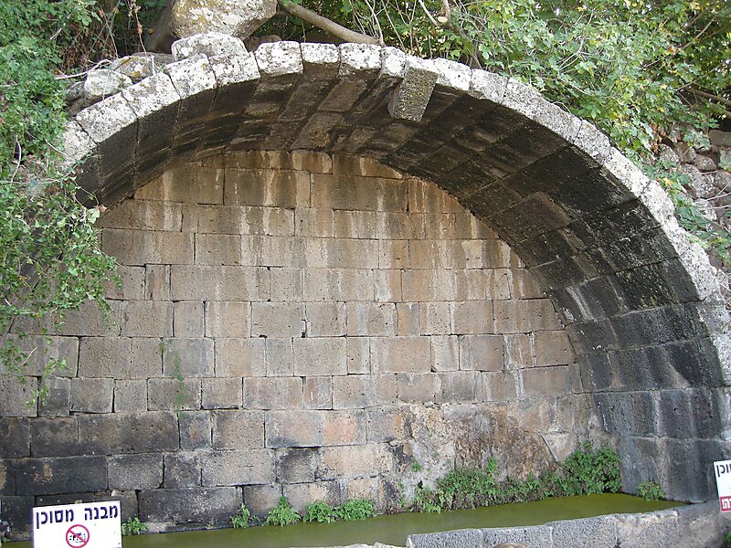
Umm el-Qanatir, also spelled Umm el-Kanatir,, known in Hebrew as Ein Keshatot is an archaeological site on the Golan Heights, whose main… Ler mais…


Umm el Kanatir – Adicionar À Tua Viagem
Cria um itinerário de viagem detalhado com rotas inteligentes, estimativas de tempo e tudo o que precisas para uma viagem perfeita.




Umm el-Qanatir, also spelled Umm el-Kanatir,, known in Hebrew as Ein Keshatot is an archaeological site on the Golan Heights, whose main phase is dated to the mid-5th - 8th centuries. Excavations have revealed a Roman-period settlement, first inhabited by pagans and later by Jews, who left behind the ruins of an exquisite synagogue when they abandoned the town after it being destroyed by the catastrophic 749 earthquake. The site is located 10 kilometres east of the Dead Sea Transform, one kilometre southwest of Natur.Identification attempts based on Jewish sources have led to two possible ancient names: Kantur, mentioned by Rabbi Menachem di Luzano in his book Ma'arikh; and Qamtra, the name of a place mentioned in the Talmud and with a Jewish past dating back to the Byzantine period.
Source: Wikipedia
Mais Informações e Contacto
Umm el Kanatir – Adicionar À Tua Viagem
Cria um itinerário de viagem detalhado com rotas inteligentes, estimativas de tempo e tudo o que precisas para uma viagem perfeita.