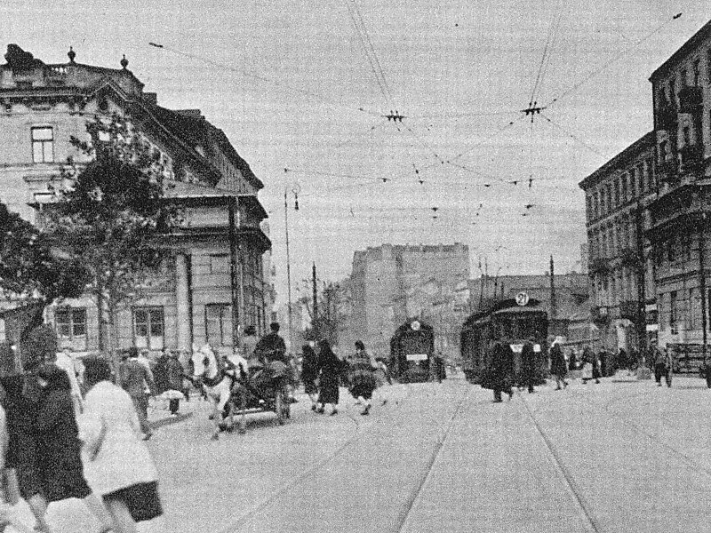
Wolska is the main artery of Warsaw's borough of Wola. Initially Wola district was but a western suburb of Warsaw and a road leading to it was dubbed "droga wolska" - Wola road. In 1725 parts of that road closest to the Warsaw Old Town, located along the Saxon Axis, were officially renamed to "Aleja Wolska" - Wola Avenue. In modern times it starts at a crossing of Chłodna and Towarowa Streets, and runs as a continuation of Solidarity Avenue through the neighbourhoods of Młynów, Czyste and Ulrychów, all the way to Połczyńska Street.
Download Download See more
Wikipedia https://en.wikipedia.org/wiki/Wolska_Street,_Warsaw
Address 140 Wolska, Warszawa 01-258, Poland
Coordinates 52°13'36.347" N 20°56'43.178" E