



Initial Point of Boundary Between U.S. and Mexico
The Initial Point of Boundary Between U.S. and Mexico is the westernmost boundary marker on the international boundary between the United… Читать далее…


Initial Point of Boundary Between U.S. and Mexico — добавь в свою поездку
Создай подробный маршрут с умным расчётом пути, оценкой времени и всем необходимым для идеальной поездки.




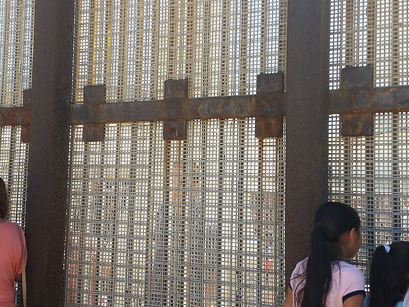
The Initial Point of Boundary Between U.S. and Mexico is the westernmost boundary marker on the international boundary between the United States and Mexico and as such has since its erection marked the southwestern corner of the Continental United States. According to the 1848 Treaty of Guadalupe Hidalgo, the initial border point is set as one marine league south of the southernmost point of San Diego Bay, and the border proceeds in a straight line towards the confluence of the Colorado River and Gila River.
The significance of the monument is stated in the inscription on the west side of the original marble shaft:
Source: Wikipedia
Дополнительная информация и контакты
Initial Point of Boundary Between U.S. and Mexico — добавь в свою поездку
Создай подробный маршрут с умным расчётом пути, оценкой времени и всем необходимым для идеальной поездки.

