



Apo Island Protected Landscape and Seascape
Apo Island is a volcanic island covering 74 hectares in land area, 7 kilometers off the southeastern tip of Negros Island and 30… Читать далее…


Apo Island Protected Landscape and Seascape — планируешь поездку?
Составь свой маршрут по дням в приложении Tripomatic.


Apo Island is a volcanic island covering 74 hectares in land area, 7 kilometers off the southeastern tip of Negros Island and 30 kilometers south of the Negros Oriental capital of Dumaguete in the Philippines. The name "Apo" means "elder" or "respected ancestor" in the Visayan languages.
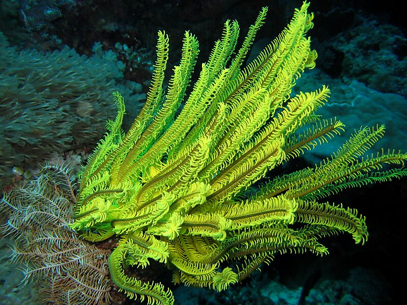
The marine habitat around the island is a marine reserve, protected by the National Integrated Protected Area Act and under the jurisdiction of the Protected Area Management Board. It has become a popular dive site and snorkeling destination with tourists. There are two resorts on Apo Island, each with a dive center: Apo Island Beach Resort and Liberty's Lodge. There is also a ranger station and a lighthouse.
Source: Wikipedia
Дополнительная информация и контакты
Экскурсии и активности


Apo Island Protected Landscape and Seascape — добавь в свою поездку
Создай подробный маршрут с умным расчётом пути, оценкой времени и всем необходимым для идеальной поездки.



