



Uritorco
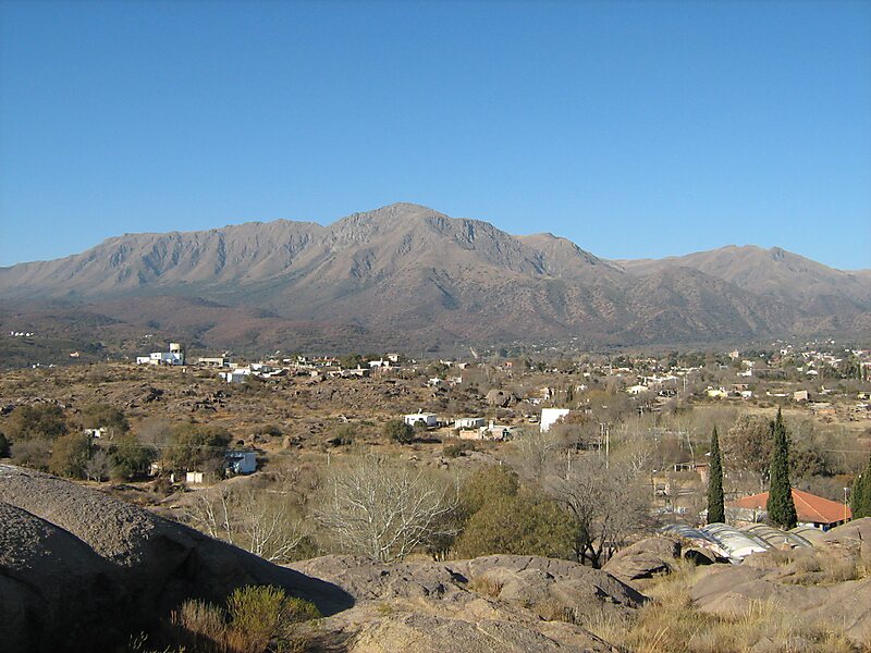
Cerro Uritorco is a mountain located next to the Calabalumba River, in the city of Capilla del Monte, in the northwest of the province of… Читать далее…


Uritorco — планируешь поездку?
Составь свой маршрут по дням в приложении Tripomatic.


Cerro Uritorco is a mountain located next to the Calabalumba River, in the city of Capilla del Monte, in the northwest of the province of Córdoba, Argentina. It is the highest peak of the Sierras Chicas mountain range. It is 3 km away from the city center and its summit is at 1,949 m above mean sea level. The name Uritu urqu means "Male Hill" in Santiago del Estero Quichua, which is, however, not the aboriginal Comechingón language.
Cerro Uritorco is under a private administration and it can be accessed by the public for a fee. It is considered a medium-difficulty ascent, taking around three hours to reach the top, provided the appropriate hiking path is followed.
Source: Wikipedia
Дополнительная информация и контакты


Uritorco — добавь в свою поездку
Создай подробный маршрут с умным расчётом пути, оценкой времени и всем необходимым для идеальной поездки.

