



Studniční hora
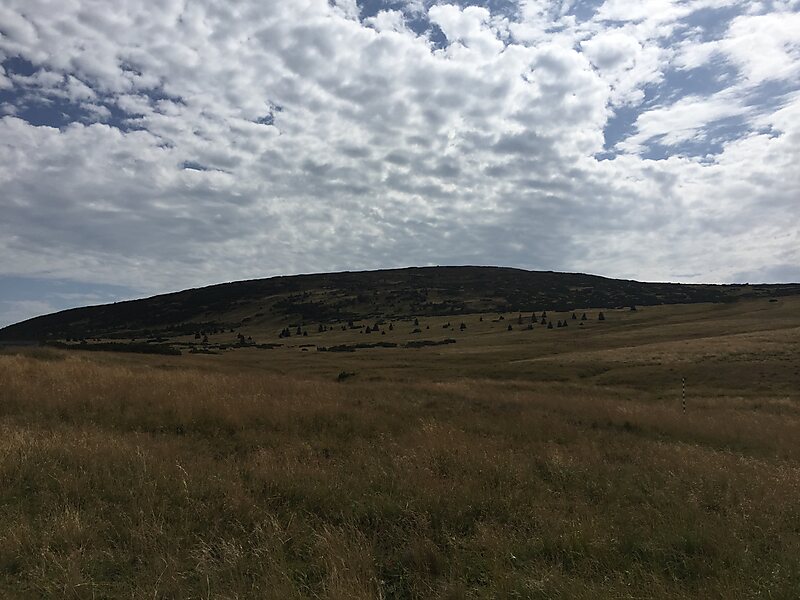
Third-highest peak in the country reaching an altitude of 1,555 meters, characterized by a flat rounded summit and steep slopes with glacial cirques. It is a highly protected habitat for endangered flora and fauna situated within the first zone of the national park. Читать далее…
Вход
Access to the summit is prohibited; only surrounding trails are accessible


Studniční hora — добавь в свою поездку
Создай подробный маршрут с умным расчётом пути, оценкой времени и всем необходимым для идеальной поездки.




Standing at 1,555 meters, this mountain is the third-highest peak in the range. It features a distinctive flat, rounded summit and steep slopes that have formed glacial cirques and active avalanche paths.
The area is located within the first zone of the national park, marking it as a strictly protected habitat. It is known for its significant botanical diversity and serves as a sanctuary for endangered species of flora and fauna.
A notable landmark on the southern slope is a specific snowfield known as the 'Map of the Republic'. This feature is a characteristic element of the landscape, which also includes various glacial landforms.
Дополнительная информация и контакты
Studniční hora — добавь в свою поездку
Создай подробный маршрут с умным расчётом пути, оценкой времени и всем необходимым для идеальной поездки.

