Вал Антонина
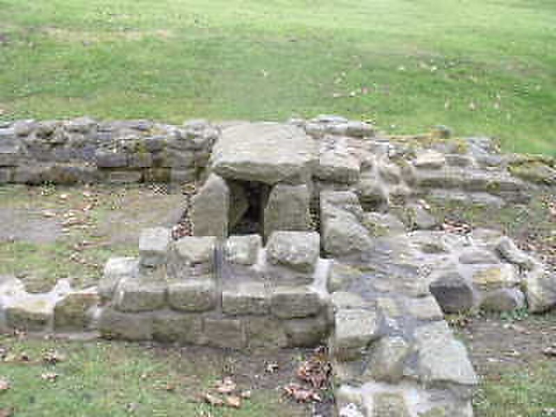
Вал Антони́на — укрепление из камня и торфа, построенное Римской империей в 142—154 гг. при императоре Антонине Пие поперёк современной… Подробнее…


Добавить Вал Антонина в твою поездку
Создай подробный маршрут с умной прокладкой, оценками времени и всем необходимым для идеальной поездки.


Вал Антони́на — укрепление из камня и торфа, построенное Римской империей в 142—154 гг. при императоре Антонине Пие поперёк современной Шотландии войсками под командованием Квинта Лоллия Урбика. Он расположен в 160 км к северу от ранее сооружённого Вала Адриана. Длина — 63 км, ширина — 5 м, высота — 3-4 м. На валу было 26 фортов.
В 160 году римляне оставили стену. В 208 году вал Антонина по указу императора Септимия Севера был снова занят римлянами. Солдаты Септимия Севера восстановили часть вала, соорудив так называемые Северовы стены, однако они долго не прослужили. Спустя несколько лет вал был опять оставлен римлянами.
Source: Wikipedia
Дополнительная информация и контакты
Добавить Вал Антонина в твою поездку
Создай подробный маршрут с умной прокладкой, оценками времени и всем необходимым для идеальной поездки.