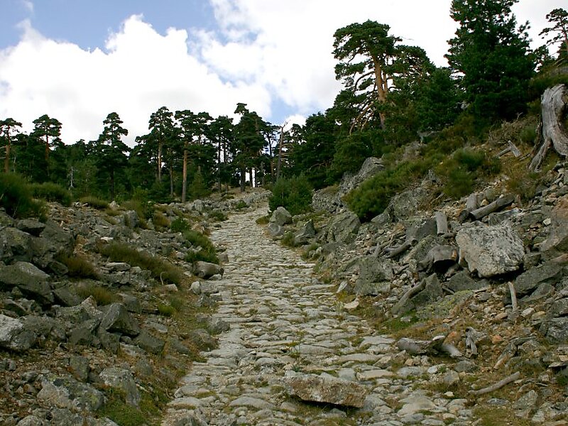
Tripomatic

Peñalara Natural Park

The Sierra de Guadarrama is a mountain range forming the main eastern section of the Sistema Central, the system of mountain ranges along… Read more…

Riverside Hotel
Taxi · 8 min
Peñalara Natural Park
2h
Walk · 6 min
Corner Café
45 min
Walk · 18 min
Riverside Hotel

Add Peñalara Natural Park to Your Trip

Create a detailed travel itinerary with smart routing, time estimates, and everything you need for a perfect trip.

3M+ downloads · 4.6 stars · 15 years of trip planning
QR code
Scan to download the app

The Sierra de Guadarrama is a mountain range forming the main eastern section of the Sistema Central, the system of mountain ranges along the centre of the Iberian Peninsula. It is located between the systems Sierra de Gredos in the province of Ávila, and Sierra de Ayllón in the province of Guadalajara.

The range runs southwest–northeast, extending from the province of Ávila in the southwest, through the Community of Madrid, to the province of Segovia in the northeast. The range measures approximately 80 kilometres in length. Its highest peak is Peñalara, 2,428 metres in elevation.

Source: Wikipedia

More Information and Contact

Address 28740, Spain
Coordinates 40°50'24.471" N, 3°57'12.669" W
Riverside Hotel
Taxi · 8 min
Peñalara Natural Park
2h
Walk · 6 min
Corner Café
45 min
Walk · 18 min
Riverside Hotel

Add Peñalara Natural Park to Your Trip

Create a detailed travel itinerary with smart routing, time estimates, and everything you need for a perfect trip.

3M+ downloads · 4.6 stars · 15 years of trip planning
QR code
Scan to download the app

More interesting places