



Sword Beach
Sword, commonly known as Sword Beach, was the code name given to one of the five main landing areas along the Normandy coast during the… Čítať viac…


Sword Beach – Pridať do výletu
Vytvor si podrobný cestovný itinerár s inteligentným plánovaním trás, časovými odhadmi a všetkým, čo potrebuješ na dokonalý výlet.




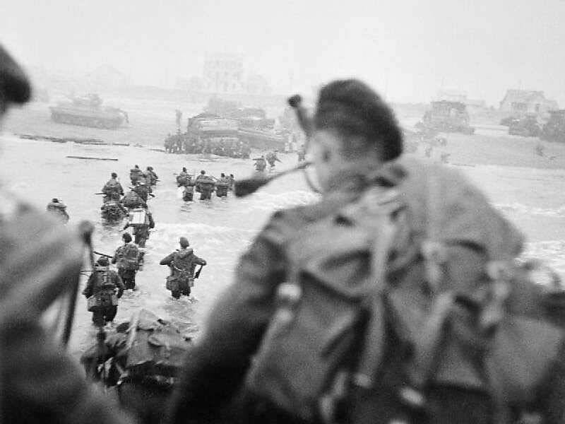
Sword, commonly known as Sword Beach, was the code name given to one of the five main landing areas along the Normandy coast during the initial assault phase, Operation Neptune, of Operation Overlord. The Allied invasion of German-occupied France commenced on 6 June 1944. Stretching 8 kilometres from Ouistreham to Saint-Aubin-sur-Mer, the beach proved to be the easternmost landing site of the invasion after the abortion of an attack on a sixth beach, code-named Band. Taking Sword was to be the responsibility of the British Army with sea transport, mine sweeping and a naval bombardment force provided by the British Royal Navy as well as elements from the Polish, Norwegian and other Allied navies.
Among the five beaches of the operation, Sword is the nearest to Caen, about 15 kilometres from the goal of the 3rd Infantry Division.
Source: Wikipedia
Ďalšie informácie a kontakt
Sword Beach – Pridať do výletu
Vytvor si podrobný cestovný itinerár s inteligentným plánovaním trás, časovými odhadmi a všetkým, čo potrebuješ na dokonalý výlet.

