
Antonine Wall
The Antonine Wall was a turf fortification on stone foundations, built by the Romans across what is now the Central Belt of Scotland,… Čítať viac…


Pridať Antonine Wall Do Tvojho Výletu
Vytvor si podrobný itinerár výletu s inteligentným plánovaním trás, odhadmi času a všetkým, čo potrebuješ pre dokonalý výlet.




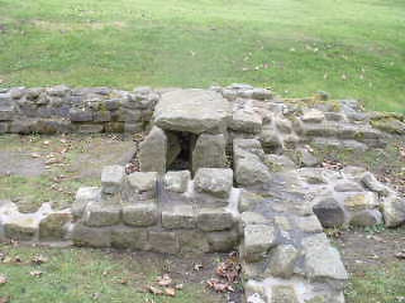
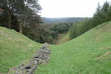
The Antonine Wall was a turf fortification on stone foundations, built by the Romans across what is now the Central Belt of Scotland, between the Firth of Clyde and the Firth of Forth. Built some twenty years after Hadrian's Wall to the south, and intended to supersede it, while it was garrisoned it was the northernmost frontier barrier of the Roman Empire. It spanned approximately 63 kilometres and was about 3 metres high and 5 metres wide.
Source: Wikipedia
Ďalšie informácie a kontakt
Pridať Antonine Wall Do Tvojho Výletu
Vytvor si podrobný itinerár výletu s inteligentným plánovaním trás, odhadmi času a všetkým, čo potrebuješ pre dokonalý výlet.

