
Stöcklewald
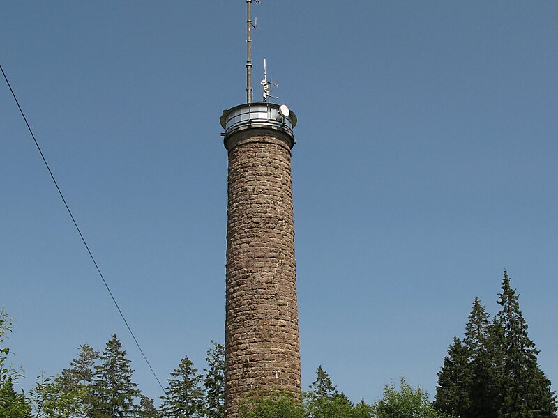
The Stöcklewald is a mountain, 1,068.2 m above sea level, in the southern part of the Central Black Forest in Germany between the towns of… Čítať viac…


Stöcklewald – Pridať Do Výletu
Vytvor si podrobný itinerár výletu s inteligentným plánovaním trás, odhadmi času a všetkým, čo potrebuješ pre dokonalý výlet.




The Stöcklewald is a mountain, 1,068.2 m above sea level, in the southern part of the Central Black Forest in Germany between the towns of Furtwangen and Triberg, each about 5 kilometres distant, in the county of Schwarzwald-Baar-Kreis. Towards the north, the Black Forest only exceeds this height again in the area of the Schliffkopf and the Hornisgrinde.
Source: Wikipedia
Ďalšie informácie a kontakt
Stöcklewald – Pridať Do Výletu
Vytvor si podrobný itinerár výletu s inteligentným plánovaním trás, odhadmi času a všetkým, čo potrebuješ pre dokonalý výlet.