Erbeskopf
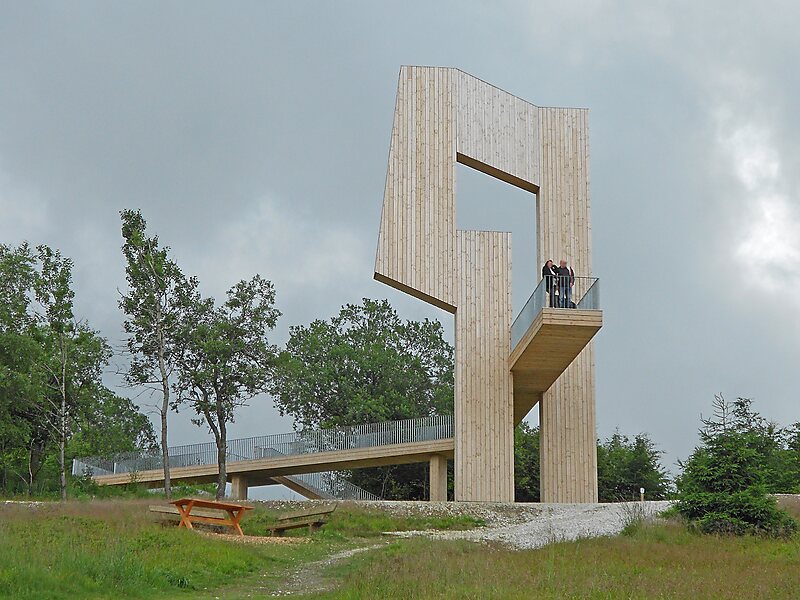
The Erbeskopf is a mountain in the Hunsrück range in central Germany. At a height of 816 metres, it is the highest point in the state of… Read more…
peak

Riverside Hotel

Erbeskopf
2h

Corner Café
45 min
Riverside Hotel
Add Erbeskopf to Your Trip
Create a detailed travel itinerary with smart routing, time estimates, and everything you need for a perfect trip.
3M+ downloads · 4.6 stars · 15 years of trip planning


The Erbeskopf is a mountain in the Hunsrück range in central Germany. At a height of 816 metres, it is the highest point in the state of Rhineland-Palatinate, as well as the highest point of German territory on the western bank of the Rhine. It lies within the Saar-Hunsrück Nature Park.
Source: Wikipedia
More Information and Contact
Wikipedia en.wikipedia.org/wiki/Erbeskopf
Address 54426, Germany
Coordinates 49°43'46.137" N, 7°5'20.37" E
Riverside Hotel
Erbeskopf
2h
Corner Café
45 min
Riverside Hotel
Add Erbeskopf to Your Trip
Create a detailed travel itinerary with smart routing, time estimates, and everything you need for a perfect trip.
3M+ downloads · 4.6 stars · 15 years of trip planning