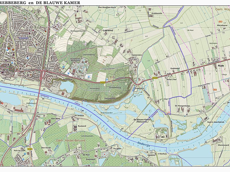
Grebbeberg
Rhenen, 🇳🇱 Netherlands
peak

Riverside Hotel

Grebbeberg
2h

Corner Café
45 min
Riverside Hotel
Add Grebbeberg to Your Trip
Create a detailed travel itinerary with smart routing, time estimates, and everything you need for a perfect trip.
3M+ downloads · 4.6 stars · 15 years of trip planning


More Information and Contact
Address 3911, Netherlands
Coordinates 51°57'6.445" N, 5°36'3.196" E
Riverside Hotel
Grebbeberg
2h
Corner Café
45 min
Riverside Hotel
Add Grebbeberg to Your Trip
Create a detailed travel itinerary with smart routing, time estimates, and everything you need for a perfect trip.
3M+ downloads · 4.6 stars · 15 years of trip planning