Hundwiler Höhi
The Hundwiler Höhi is a mountain of the Appenzell Alps, located on the border between the Swiss cantons of Appenzell Ausserrhoden and… Read more…


Add Hundwiler Höhi to Your Trip
Create a detailed travel itinerary with smart routing, time estimates, and everything you need for a perfect trip.


The Hundwiler Höhi is a mountain of the Appenzell Alps, located on the border between the Swiss cantons of Appenzell Ausserrhoden and Appenzell Innerrhoden. It is situated between Hundwil and Gonten.
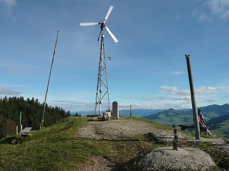
The summit is easily accessible from every side of the mountain and is a popular vantage point over the Säntis, the Alpstein massif and Lake Constance. A mountain hut is located near the top.
Source: Wikipedia
More Information and Contact
Add Hundwiler Höhi to Your Trip
Create a detailed travel itinerary with smart routing, time estimates, and everything you need for a perfect trip.