Mont Faron
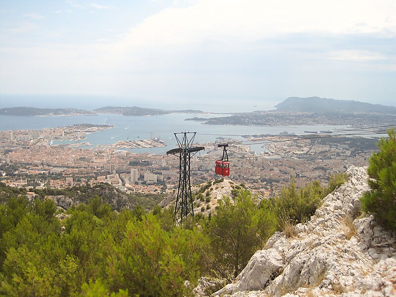
Mont Faron is a mountain overlooking the city and roadstead of Toulon, France. It is 584m high. Read more…


Add Mont Faron to Your Trip
Create a detailed travel itinerary with smart routing, time estimates, and everything you need for a perfect trip.


Mont Faron is a mountain overlooking the city and roadstead of Toulon, France. It is 584m high. At its peak is a memorial dedicated to the 1944 Allied landings in Provence, and to the liberation of Toulon.
The top can be reached either by a cable car from Toulon, or by a steep and narrow road which ascends from the west side and descends on the east side. The road is one of the most challenging stages of the annual Paris–Nice and Tour Méditerranéen bicycle races. From 1952 to 1970, there was a Mont Faron hill climb time trial race.Near the summit there is a zoo which covers an area of 1.5 hectares.
Source: Wikipedia
More Information and Contact
Add Mont Faron to Your Trip
Create a detailed travel itinerary with smart routing, time estimates, and everything you need for a perfect trip.