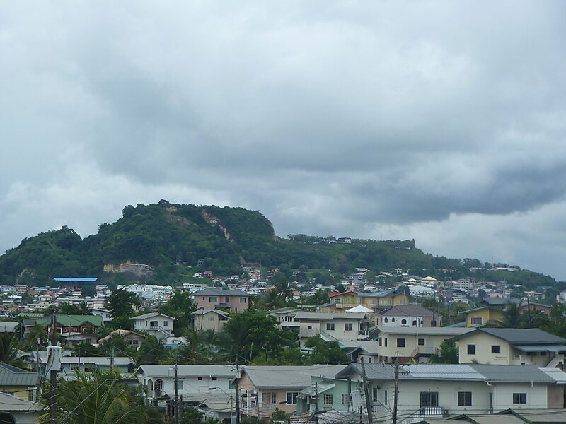
San Fernando Hill is a 192-m hill which lies at the centre of the city of San Fernando in Trinidad and Tobago. The hill, an outcrop of Argillite is the highest point in the Naparima Plains. Originally nearly dome-shaped with a flattened top, the size was reduced by more than a third as a result of unrestricted quarrying in the 1970s. The Hill originally supported semi-evergreen forest, but this was largely replaced by cultivated species prior to the devastation of the Hill by quarrying.
Quarrying on the Hill was not a new phenomenon, but the increase in demand for Argillite aggregate during the oil boom of the 1970s led to an expansion of quarrying to the point where it appeared that the entire Hill would be removed. Protests by citizens' groups led to a halt to quarrying and the Hill was included in the National Parks and Protected Areas plan of 1980.
Wikipedia https://en.wikipedia.org/wiki/San_Fernando_Hill
Adress Trinidad & Tobago
Koordinater 10°16'54.27" N -61°27'23.902" E