



Multnomah Falls
Multnomah Falls is a waterfall located on Multnomah Creek in the Columbia River Gorge, east of Troutdale, between Corbett and Dodson,… Daha fazla oku…


Multnomah Falls – Gezine Ekle
Akıllı rota oluşturma, tahmini süreler ve kusursuz bir gezi için ihtiyacın olan her şeyle ayrıntılı bir seyahat güzergahı oluştur.




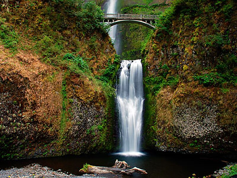
Multnomah Falls is a waterfall located on Multnomah Creek in the Columbia River Gorge, east of Troutdale, between Corbett and Dodson, Oregon, United States. The waterfall is accessible from the Historic Columbia River Highway and Interstate 84. Spanning two tiers on basalt cliffs, it is the tallest waterfall in the state of Oregon at 620 ft in height. The Multnomah Creek Bridge, built in 1914, crosses below the falls, and is listed on the National Register of Historic Places.
The land surrounding the falls was developed by Simon Benson in the early-twentieth century, with a pathway, viewing bridge, and adjacent lodge being constructed in 1925. The Multnomah Falls Lodge and the surrounding footpaths at the falls were added to the National Register of Historic Places in 1981.
Source: Wikipedia
Daha Fazla Bilgi ve İletişim
Multnomah Falls – Gezine Ekle
Akıllı rota oluşturma, tahmini süreler ve kusursuz bir gezi için ihtiyacın olan her şeyle ayrıntılı bir seyahat güzergahı oluştur.

