



Mt. Myojingatake
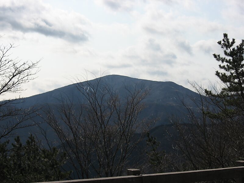
Mount Myōjin or Myōjin-ga-take is a mountain with an altitude of 1,169 meters on the border of Minamiashigara and Hakone, Kanagawa, as one… Daha fazla oku…


Mt. Myojingatake – Gezi mi Planlıyorsun?
Tripomatic uygulamasında gün gün güzergahını oluştur.


Mount Myōjin or Myōjin-ga-take is a mountain with an altitude of 1,169 meters on the border of Minamiashigara and Hakone, Kanagawa, as one of the ancient sommas on Mount Hakone's old outer rim. It is part of Fuji-Hakone-Izu National Park.
Mount Myōjin has two major trails from the eastern and western sides, and is the hikers' most popular mountain in the Mount Hakone area, next to Mount Kintoki. There is also a long trail from Mount Myōjō via Mount Myōjin to Mount Kintoki.
Source: Wikipedia
Daha Fazla Bilgi ve İletişim


Mt. Myojingatake – Gezine Ekle
Akıllı rota oluşturma, tahmini süreler ve kusursuz bir gezi için ihtiyacın olan her şeyle ayrıntılı bir seyahat güzergahı oluştur.

