



Hamra Street
Hamra Street or Rue Hamra is one of the main streets of the city of Beirut, Lebanon, and one of the main economic and diplomatic hubs of… Daha fazla oku…


Hamra Street – Gezi mi Planlıyorsun?
Tripomatic uygulamasında gün gün güzergahını oluştur.


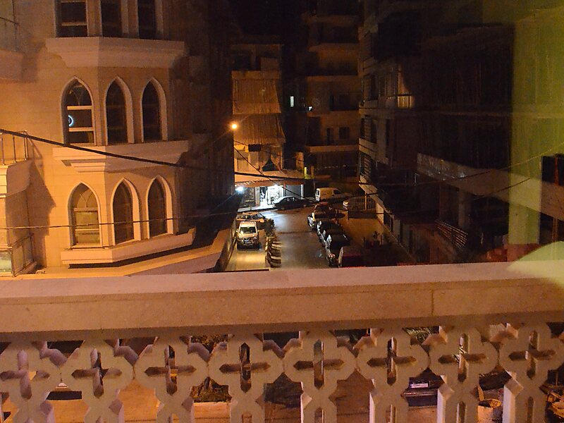
Hamra Street or Rue Hamra is one of the main streets of the city of Beirut, Lebanon, and one of the main economic and diplomatic hubs of Beirut. It is located in the neighborhood of the same name, Hamra. Its technical name is Rue 31. Due to the numerous sidewalk cafes and theatres, Hamra Street was the centre of intellectual activity in Beirut during the 1960s and 1970s. Before 1975, Hamra Street and the surrounding district was known as Beirut's trendiest, though in the post-war period it has arguably been eclipsed by Rue Monot in Ashrafieh, Rue Gouraud in Gemmayzeh, Rue Verdun, and downtown area. In the mid 1990s, the Municipality of Beirut gave a facelift to the street to reattract tourists all year round. Hamra Street was known as Beirut's Champs Elysées, as it was frequented by tourists all year round.
Source: Wikipedia
Daha Fazla Bilgi ve İletişim


Hamra Street – Gezine Ekle
Akıllı rota oluşturma, tahmini süreler ve kusursuz bir gezi için ihtiyacın olan her şeyle ayrıntılı bir seyahat güzergahı oluştur.

