



Andasibe-Mantadia National Park
Andasibe-Mantadia National Park is a 155 square kilometre protected area, located about 150 km east of Antananarivo, consisting principally… Daha fazla oku…


Andasibe-Mantadia National Park – Gezi mi Planlıyorsun?
Tripomatic uygulamasında gün gün güzergahını oluştur.


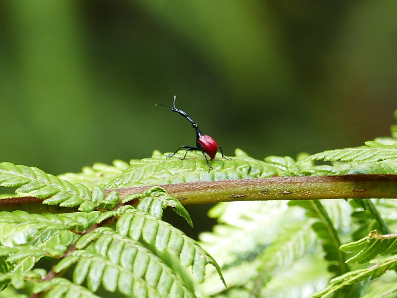
Andasibe-Mantadia National Park is a 155 square kilometre protected area, located about 150 km east of Antananarivo, consisting principally of primary growth forest in Alaotra-Mangoro Region in eastern Madagascar. The park's elevation ranges from 800 to 1260 meters, with a humid climate. Average annual precipitation is 1700 mm, with rainfall on 210 days of each year. This rainforest is habitat to a vast species biodiversity, including many endemic rare species and endangered species, including 11 lemur species. The park's two component parts are Mantadia National Park and Analamazoatra Reserve, which is best known for its population of Madagascar's largest lemur, the indri.The national park was nominated in 2007 to become part of the World Heritage Site of Rainforests of the Atsinanana.
Source: Wikipedia
Daha Fazla Bilgi ve İletişim


Andasibe-Mantadia National Park – Gezine Ekle
Akıllı rota oluşturma, tahmini süreler ve kusursuz bir gezi için ihtiyacın olan her şeyle ayrıntılı bir seyahat güzergahı oluştur.

