
Northeast Glacier
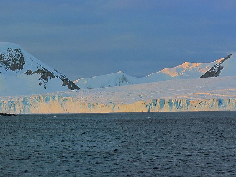
Northeast Glacier is a steep, heavily crevassed glacier on the west side of Hemimont Plateau, 21 km long and 8 km wide at its mouth, which… Devamını oku…


Northeast Glacier – Geziye Ekle
Akıllı rotalar, süre tahminleri ve mükemmel bir gezi için ihtiyacın olan her şeyle ayrıntılı bir güzergah oluştur.




Northeast Glacier is a steep, heavily crevassed glacier on the west side of Hemimont Plateau, 21 km long and 8 km wide at its mouth, which flows from McLeod Hill westward and then south-westwards into Marguerite Bay between the Debenham Islands and Roman Four Promontory, on the west coast of Graham Land, Antarctica. Northeast Glacier was first surveyed in 1936 by the British Graham Land Expedition under John Riddoch Rymill. It was resurveyed in 1940 by members of the United States Antarctic Service, who first used the glacier as a sledging route, and so named by them because it lay on the north-eastern side of their base at Stonington Island.
Source: Wikipedia
Daha Fazla Bilgi ve İletişim
Northeast Glacier – Geziye Ekle
Akıllı rotalar, süre tahminleri ve mükemmel bir gezi için ihtiyacın olan her şeyle ayrıntılı bir güzergah oluştur.