



Māngere Inlet
Mangere Inlet is an arm of the Manukau Harbour, the southwestern of the two harbours of Auckland, New Zealand and itself an arm of the… Daha fazla oku…
Māngere Inlet – Gezi mi Planlıyorsun?
Tripomatic uygulamasında gün gün güzergahını oluştur.


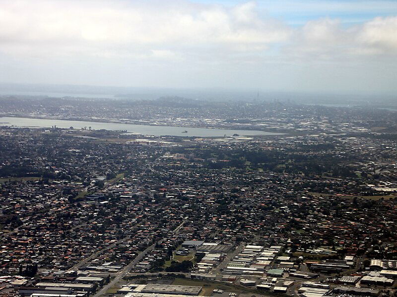
Mangere Inlet is an arm of the Manukau Harbour, the southwestern of the two harbours of Auckland, New Zealand and itself an arm of the Tasman Sea. The inlet lies between the Auckland isthmus and South Auckland, and has a size of 6.6 km2 and a catchment of 34.5 km2, being considered to extend to just west of Onehunga. It is an environment highly modified by land reclamation and human uses, with the northern shoreline especially affected. However, the inlet also acts as a natural sedimentation sink, thus being especially at risk of contamination.
Source: Wikipedia
Daha Fazla Bilgi ve İletişim


Māngere Inlet – Gezine Ekle
Akıllı rota oluşturma, tahmini süreler ve kusursuz bir gezi için ihtiyacın olan her şeyle ayrıntılı bir seyahat güzergahı oluştur.

