
Whitbarrow Scar
Whitbarrow is a hill in Cumbria, England, designated a biological Site of Special Scientific Interest and national nature reserve, forming… Devamını oku…


Gezine Whitbarrow Scar Ekle
Akıllı rotalar, süre tahminleri ve mükemmel bir gezi için ihtiyacın olan her şeyle ayrıntılı bir güzergah oluştur.




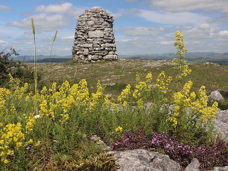
Whitbarrow is a hill in Cumbria, England, designated a biological Site of Special Scientific Interest and national nature reserve, forming part of the Morecambe Bay Pavements Special Area of Conservation due to its supporting some of the best European examples of natural limestone habitats. Also known as Whitbarrow Scar, the hill lies about 9 kilometres southwest of Kendal, just north of the A590 road, close to the village of Witherslack. Part of the site is a local nature reserve called Whitbarrow Scar. Whitbarrow's summit, known as Lord's Seat, is at 215 metres and has a prominence of 182 metres, classifying it as a Marilyn.
It is a mixture of woodland, grassland and limestone pavement. The hill is prominent from the A590 road with its steep limestone cliffs, laid down in the Carboniferous period some 350 million years ago. The main cliff faces are made up of rocks known as Dalton Beds, above which are Urswick Limestones, of which the limestone pavement has been formed.
Source: Wikipedia
Daha fazla bilgi ve iletişim
Gezine Whitbarrow Scar Ekle
Akıllı rotalar, süre tahminleri ve mükemmel bir gezi için ihtiyacın olan her şeyle ayrıntılı bir güzergah oluştur.