



Köppel
The Köppel, at 540.2 m above sea level, is the second highest point in the Montabaur Heights, an elongated hill ridge in the Lower… Daha fazla oku…


Köppel – Gezine Ekle
Akıllı rota oluşturma, tahmini süreler ve kusursuz bir gezi için ihtiyacın olan her şeyle ayrıntılı bir seyahat güzergahı oluştur.




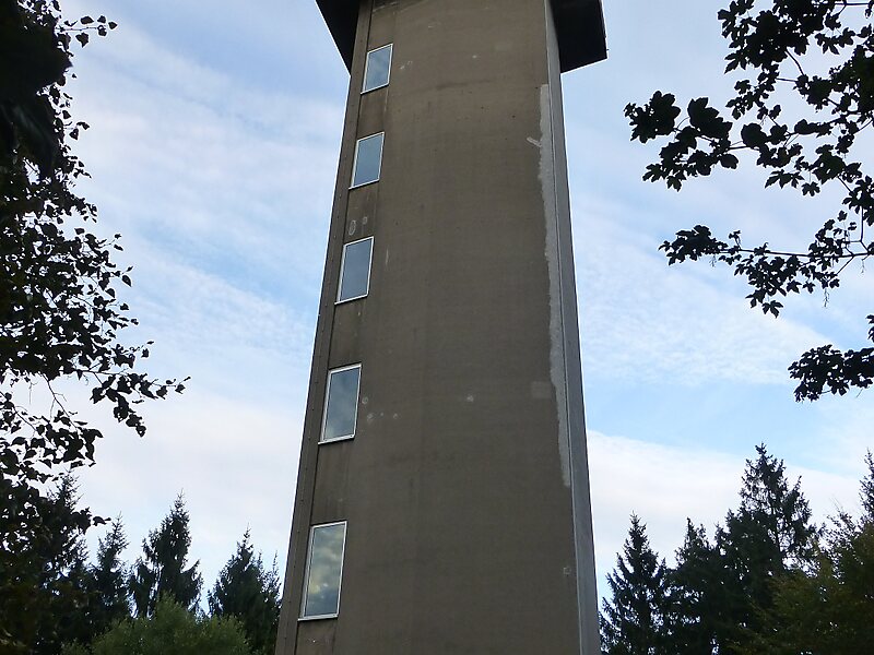
The Köppel, at 540.2 m above sea level, is the second highest point in the Montabaur Heights, an elongated hill ridge in the Lower Westerwald in Germany. It is second only to the nearby Alarmstange and lies on the boundary between Montabaur and Dernbach in the county of Westerwaldkreis in the state of Rhineland-Palatinate. At the summit is the Köppel viewing tower.
Source: Wikipedia
Daha Fazla Bilgi ve İletişim
Köppel – Gezine Ekle
Akıllı rota oluşturma, tahmini süreler ve kusursuz bir gezi için ihtiyacın olan her şeyle ayrıntılı bir seyahat güzergahı oluştur.