
Steep Holm Island
Steep Holm is an English island lying in the Bristol Channel. The island covers 48.87 acres at high tide, expanding to 63.26 acres at mean… Devamını oku…


Steep Holm Island – Geziye Ekle
Akıllı rotalar, süre tahminleri ve mükemmel bir gezi için ihtiyacın olan her şeyle ayrıntılı bir güzergah oluştur.




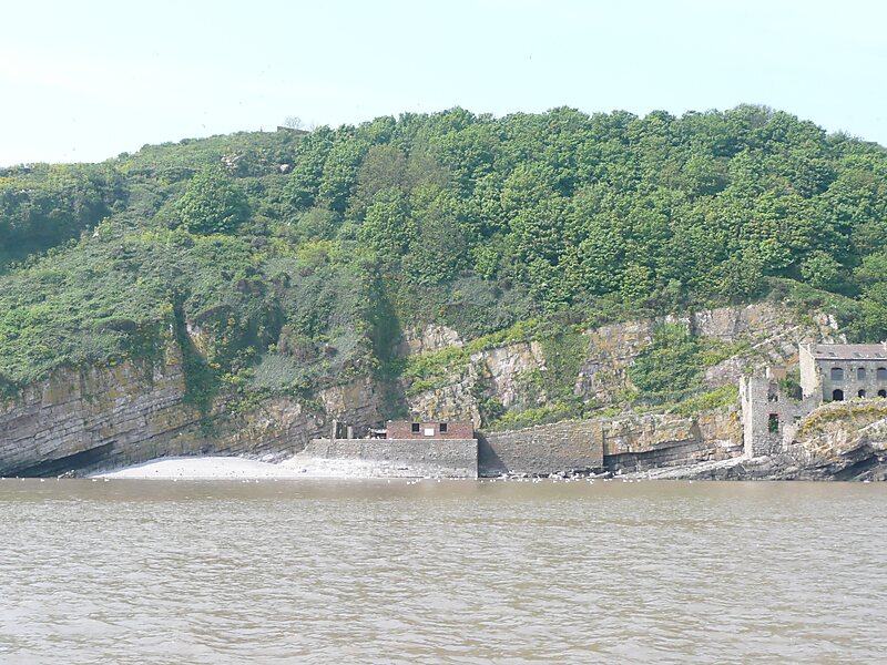
Steep Holm is an English island lying in the Bristol Channel. The island covers 48.87 acres at high tide, expanding to 63.26 acres at mean low water. At its highest point it is 78 metres above mean sea level. Administratively it forms part of the unitary authority of North Somerset within the ceremonial county of Somerset; between 1 April 1974 and 1 April 1996, it was administered as part of Avon. Nearby is Flat Holm island, part of Wales.
The Carboniferous Limestone island rises to about 200 feet and serves as a wind and wave break, sheltering the upper reaches of the Bristol Channel. The island is now uninhabited, with the exception of the wardens. It is protected as a nature reserve and Site of Special Scientific Interest with a large bird population and plants including wild peonies.
Source: Wikipedia
Daha Fazla Bilgi ve İletişim
Steep Holm Island – Geziye Ekle
Akıllı rotalar, süre tahminleri ve mükemmel bir gezi için ihtiyacın olan her şeyle ayrıntılı bir güzergah oluştur.