



Uritorco
Cerro Uritorco is a mountain located next to the Calabalumba River, in the city of Capilla del Monte, in the northwest of the province of… Daha fazla oku…


Uritorco – Gezi mi Planlıyorsun?
Tripomatic uygulamasında gün gün güzergahını oluştur.


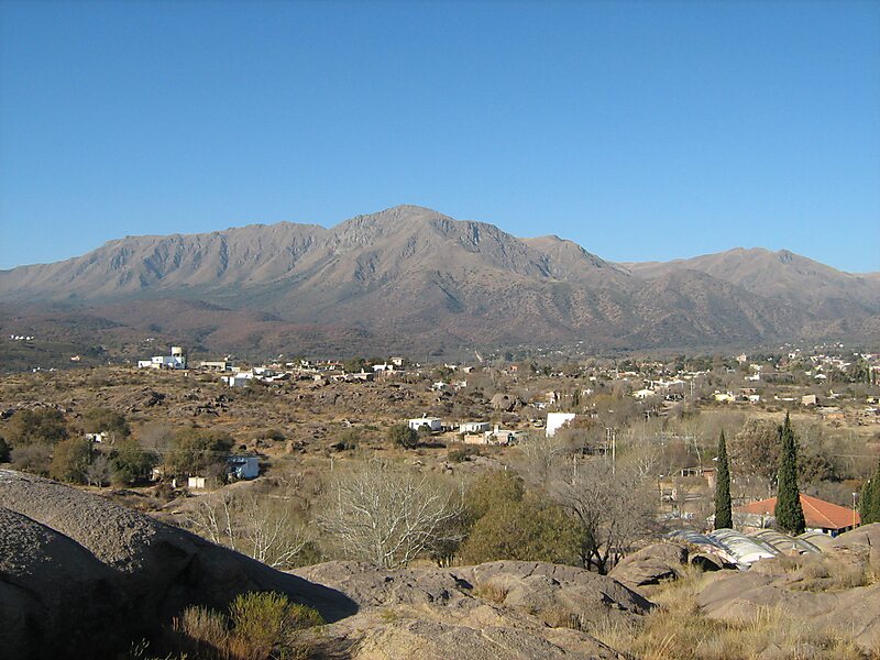
Cerro Uritorco is a mountain located next to the Calabalumba River, in the city of Capilla del Monte, in the northwest of the province of Córdoba, Argentina. It is the highest peak of the Sierras Chicas mountain range. It is 3 km away from the city center and its summit is at 1,949 m above mean sea level. The name Uritu urqu means "Male Hill" in Santiago del Estero Quichua, which is, however, not the aboriginal Comechingón language.
Cerro Uritorco is under a private administration and it can be accessed by the public for a fee. It is considered a medium-difficulty ascent, taking around three hours to reach the top, provided the appropriate hiking path is followed.
Source: Wikipedia
Daha Fazla Bilgi ve İletişim


Uritorco – Gezine Ekle
Akıllı rota oluşturma, tahmini süreler ve kusursuz bir gezi için ihtiyacın olan her şeyle ayrıntılı bir seyahat güzergahı oluştur.

