



Bay of All Saints
The Bay of All Saints, also known as All Saints' Bay and Todos os Santos Bay, is the principal bay of the Brazilian state of Bahia, to… Daha fazla oku…
Bay of All Saints – Gezi mi Planlıyorsun?
Tripomatic uygulamasında gün gün güzergahını oluştur.


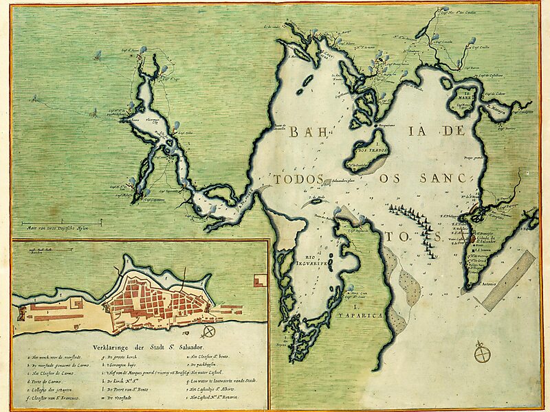
The Bay of All Saints, also known as All Saints' Bay and Todos os Santos Bay, is the principal bay of the Brazilian state of Bahia, to which it gave its name. It sits on the eastern coast of Brazil, surrounding part of Bahia's capital Salvador and opening to the Atlantic Ocean. It covers 1,223 square kilometers, making it the largest bay in Brazil.
Farol da Barra, on the site of a historic fort, stands at the entrance of the bay. The Bay of All Saints is shallow along much of its area with an average depth of 9.8 meters. The Paraguaçu River travels 500 kilometers to empty into the bay and the coastal lowlands of the Reconcavo Basin are at its mouth. It contains 91 islands, the largest being Itaparica Island at its entrance. Other important islands include the Ilha dos Frades, ilha de Maré, ilha de Bom Jesus, and the small Ilha do Medo.
Source: Wikipedia
Daha Fazla Bilgi ve İletişim


Bay of All Saints – Gezine Ekle
Akıllı rota oluşturma, tahmini süreler ve kusursuz bir gezi için ihtiyacın olan her şeyle ayrıntılı bir seyahat güzergahı oluştur.

