



Agulhas Negras Peak
Agulhas Negras Peak is the fifth-highest mountain in Brazil, standing at 2,791 metres above sea level, making it one of the highest in the… Daha fazla oku…
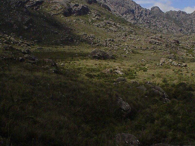

Agulhas Negras Peak – Gezi mi Planlıyorsun?
Tripomatic uygulamasında gün gün güzergahını oluştur.


Agulhas Negras Peak is the fifth-highest mountain in Brazil, standing at 2,791 metres above sea level, making it one of the highest in the Brazilian Highlands. It is located in Itatiaia National Park, in the Mantiqueira range, on the border of the states of Rio de Janeiro and Minas Gerais. It is the highest point in the state of Rio de Janeiro, the third-highest in Minas Gerais, and the second-highest in the Mantiqueira range.
The climb to the top of the mountain was first attempted by Franklin Massena in the year 1856. Further attempts were made by André Rebouças in 1878 and by Horácio de Carvalho in 1898, but the summit was only reached by Carlos Spierling and Osvaldo Leal in 1919.
Source: Wikipedia
Daha Fazla Bilgi ve İletişim


Agulhas Negras Peak – Gezine Ekle
Akıllı rota oluşturma, tahmini süreler ve kusursuz bir gezi için ihtiyacın olan her şeyle ayrıntılı bir seyahat güzergahı oluştur.

