



Dena
Dena is the name for a sub-range within the Zagros Mountains, Iran. Mount Dena, with 80 km length and 15 km average width, is situated on… Daha fazla oku…


Dena – Gezi mi Planlıyorsun?
Tripomatic uygulamasında gün gün güzergahını oluştur.


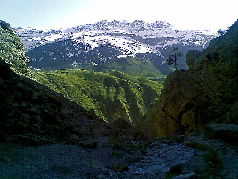
Dena is the name for a sub-range within the Zagros Mountains, Iran. Mount Dena, with 80 km length and 15 km average width, is situated on the boundary of the Isfahan, Kohgiluyeh and Boyer-Ahmad and Chaharmahal and Bakhtiari Provinces of Iran.
Mount Dena has more than 40 peaks higher than 4,000 metres. Annual precipitation in Mount Dena ranges from 600 to 1,800 mm.
Geologically, Mount Dena is located in the Sanandaj-Sirjan geologic and structural zone of Iran and is mainly made of Cretaceous limestone.
Source: Wikipedia
Daha Fazla Bilgi ve İletişim


Dena – Gezine Ekle
Akıllı rota oluşturma, tahmini süreler ve kusursuz bir gezi için ihtiyacın olan her şeyle ayrıntılı bir seyahat güzergahı oluştur.

