



Herodion Ruins
Herodion, Herodium, or Jabal al-Fureidis is an ancient fortress located 12 kilometres south of Jerusalem and 5 kilometres southeast of… Daha fazla oku…


Herodion Ruins – Gezi mi Planlıyorsun?
Tripomatic uygulamasında gün gün güzergahını oluştur.


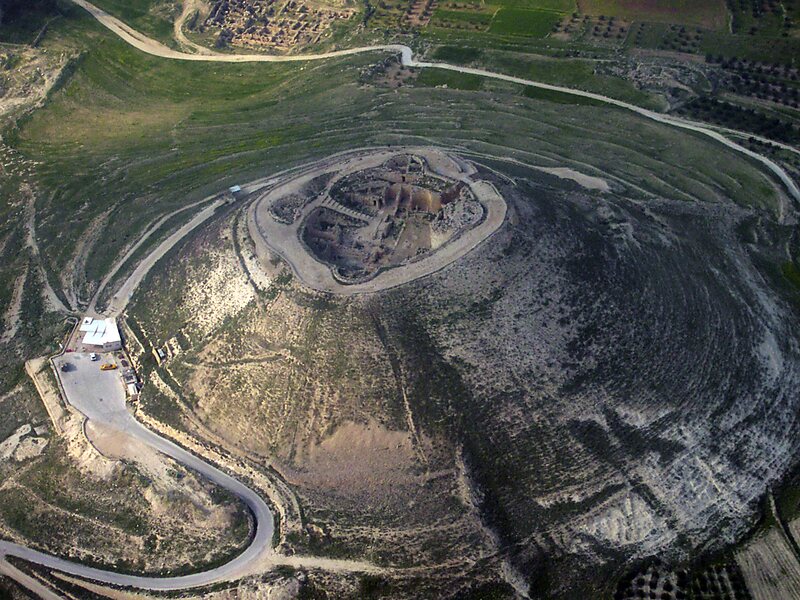
Herodion, Herodium, or Jabal al-Fureidis is an ancient fortress located 12 kilometres south of Jerusalem and 5 kilometres southeast of Bethlehem. It is located between the villages of Beit Ta'mir, Za'atara and Jannatah. It is identified with the site of Herodium, built by King of Judea Herod the Great built between 23 and 15 BCE. Herodium is 758 meters above sea level.The site is in Area C of the West Bank, formally under the jurisdiction of the Israeli Civil Administration, a body of military officers, and in practice it is administered jointly with the Israel Nature and Parks Authority. Israel asserts that it is entitled to work in the area under the Oslo Accords, but the Palestinian authorities say Israel has no right to undertake digs there or remove artifacts that Israel discovered in excavations there.
Source: Wikipedia
Daha Fazla Bilgi ve İletişim


Herodion Ruins – Gezine Ekle
Akıllı rota oluşturma, tahmini süreler ve kusursuz bir gezi için ihtiyacın olan her şeyle ayrıntılı bir seyahat güzergahı oluştur.



