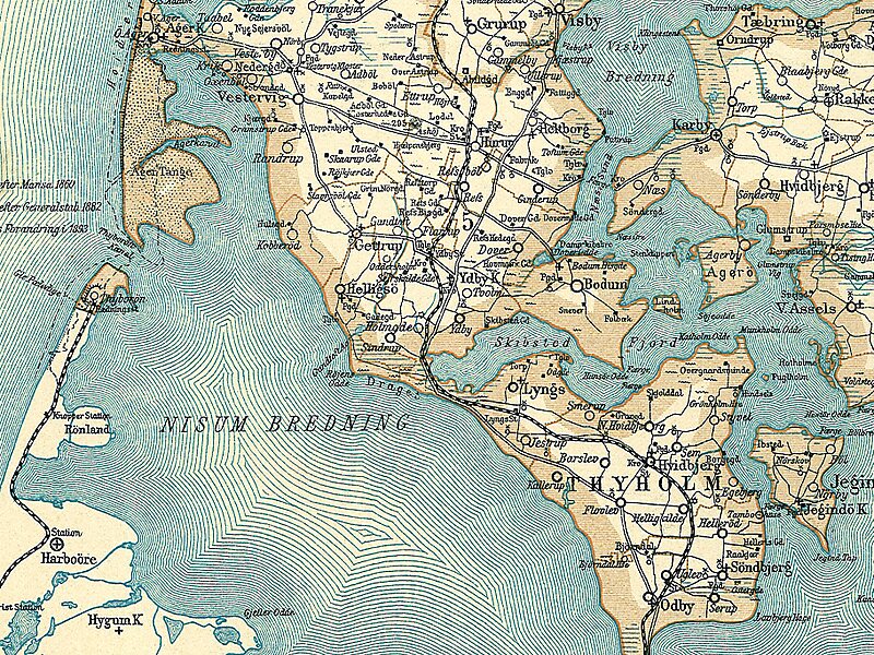
Agger Tange is a peninsula located between the Limfjord and the North Sea. Agger Tange protrudes from the North Jutlandic Island, immediately south of the village Agger in Thy.
As the name implies, Agger Tange was originally an isthmus, but North Sea storms breached the tombolo in the 1800s, creating two peninsulas, north and south. The north peninsula retained the name Agger Tange, although it was no longer an isthmus. The south peninsula became known as Harboøre Tange. The two peninsulas are separated by the Thyborøn Channel, facilitating ship traffic through the Limfjord canal.

Wikipedia https://en.wikipedia.org/wiki/Agger_Tange
Address 7770, Denmark
Coordinates 56°44'36.837" N 8°14'21.1" E