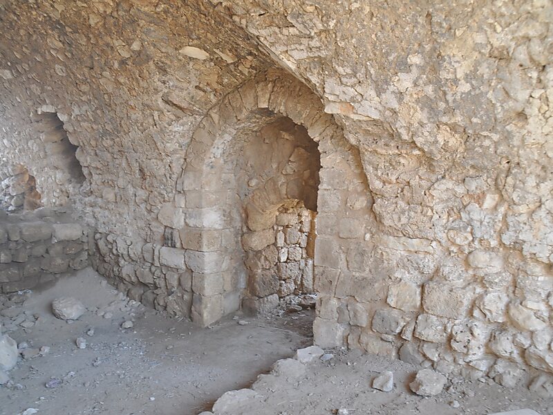
Bayt ʿIṭāb was a Palestinian Arab village located in the Jerusalem Subdistrict. The village is believed to have been inhabited since the biblical period. An ancient tunnel which led to the village spring is associated with the story of Samson. Both during and after its incorporation into Crusader fiefdoms in the 12th century, its population was Arab. Sheikhs from the Lahham family clan, who were associated with the Qays tribo-political faction, ruled the village during Ottoman era. In the 19th century, this clan controlled 24 villages in the vicinity. The homes were built of stone. The local farmers cultivated cereals, fruit trees and olive groves and some engaged in livestock breeding.
After a military assault on Bayt ʿIṭāb by Israeli forces in October 1948, the village was depopulated and demolished. Many of the villagers had fled to refugee camps in the West Bank less than 20 kilometres from the village.

Wikipedia https://en.wikipedia.org/wiki/Bayt_'Itab
Address Israel
Coordinates 31°44'3.952" N 35°3'10.24" E