Dreiländerspitze
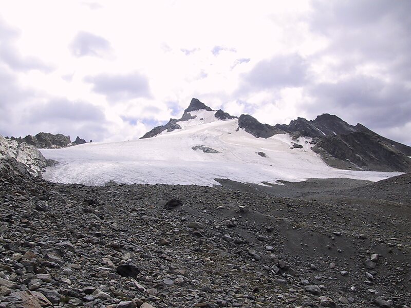
The Dreiländerspitze is with 3,197 m one of the higher mountains in the Silvretta range in the eastern Alps and located on the… Read more…


Add Dreiländerspitze to Your Trip
Create a detailed travel itinerary with smart routing, time estimates, and everything you need for a perfect trip.


The Dreiländerspitze is with 3,197 m one of the higher mountains in the Silvretta range in the eastern Alps and located on the Austria–Switzerland border. The borders of the Swiss canton of Graubünden and the Austrian states of Vorarlberg and Tyrol meet at the peak. Its name refers to a meeting point between the territories of three ancient tribes and their languages. It is also on the watershed between the Rhine and Danube.
It is a favourite viewpoint, due to its position and accessibility. Its first documented ascent was by the German alpinist Theodor Petersen, accompanied by two locals, on 14 July 1870, although it appeared to have been previously climbed by surveyors in the 1850s. The nearest settlements are Galtür, 14 km to the north, and Guarda, 9 km to the south.
Source: Wikipedia
More Information and Contact
Add Dreiländerspitze to Your Trip
Create a detailed travel itinerary with smart routing, time estimates, and everything you need for a perfect trip.