
Sainte Victoire Mountain
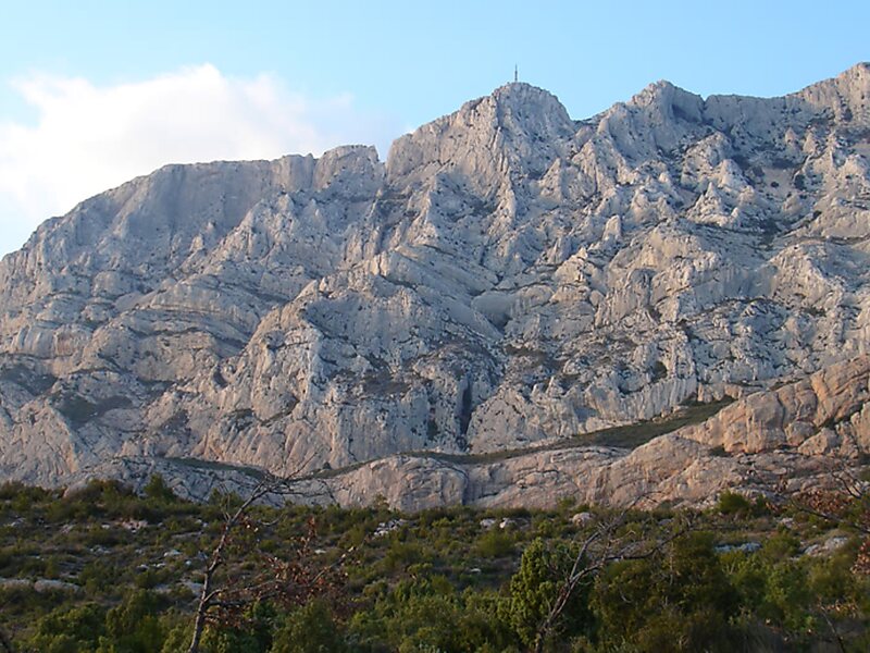
Montagne Sainte-Victoire is a limestone mountain ridge in the south of France which extends over 18 km between the départements of Bouches… Devamını oku…


Sainte Victoire Mountain – Geziye Ekle
Akıllı rotalar, süre tahminleri ve mükemmel bir gezi için ihtiyacın olan her şeyle ayrıntılı bir güzergah oluştur.




Montagne Sainte-Victoire is a limestone mountain ridge in the south of France which extends over 18 km between the départements of Bouches-du-Rhône and Var. Its highest point is the Pic des mouches at 1,011 metres; this is not however the highest point in Bouches-du-Rhône, which is instead found in the Sainte-Baume massif. The Croix de Provence is a notable feature of the mountain. At a height of 19 metres, this cross, although not placed at the highest point of the mountain, stands out from the ridge far more than the Pic des Mouches.
The mountain is celebrated for its many appearances in a series of paintings by Paul Cézanne, who could see it from near his house in nearby Aix-en-Provence.
Source: Wikipedia
Daha Fazla Bilgi ve İletişim
Sainte Victoire Mountain – Geziye Ekle
Akıllı rotalar, süre tahminleri ve mükemmel bir gezi için ihtiyacın olan her şeyle ayrıntılı bir güzergah oluştur.

