



British Columbia Highway 93
Highway 93 is a north–south route through the southeastern part of British Columbia, in the Regional District of East Kootenay and takes… 阅读更多…
门票


British Columbia Highway 93 – 添加到您的旅行
创建详细的旅行行程,提供智能路线规划、耗时预估以及完美旅行所需的一切。




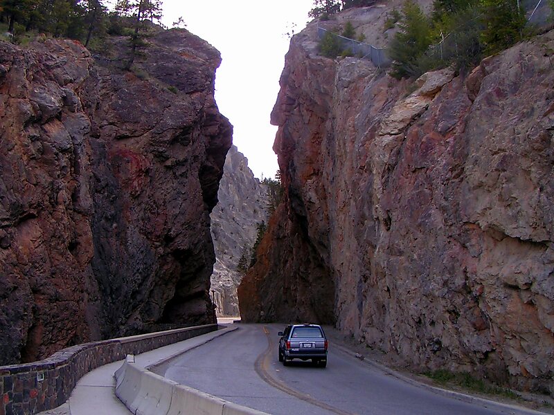
Highway 93 is a north–south route through the southeastern part of British Columbia, in the Regional District of East Kootenay and takes its number from U.S. Highway 93 that it connects with at the Canada–United States border. It follows the Crowsnest Highway and Highway 95 through Radium Hot Springs and to where it crosses the Continental Divide into Alberta at Vermilion Pass, where it continues as Alberta Highway 93. The section between the Canada-U.S. border and the Crowsnest Highway is known as the Elko–Roosville Highway, the section between the Crowsnest Highway and Radium Hot Springs is known as the Kootenay–Columbia Highway, while the section east of Radium Hot Springs is known as the Banff–Windermere Parkway.
Source: Wikipedia
更多信息与联系方式
British Columbia Highway 93 – 添加到您的旅行
创建详细的旅行行程,提供智能路线规划、耗时预估以及完美旅行所需的一切。

