



Trail Ridge Road/Beaver Meadow National Scenic Byway
Trail Ridge Road is the name for the 48-mile stretch of U.S. Highway 34 that traverses Rocky Mountain National Park from Estes Park,… 阅读更多…


Trail Ridge Road/Beaver Meadow National Scenic Byway – 添加到您的旅行
创建详细的旅行行程,提供智能路线规划、耗时预估以及完美旅行所需的一切。




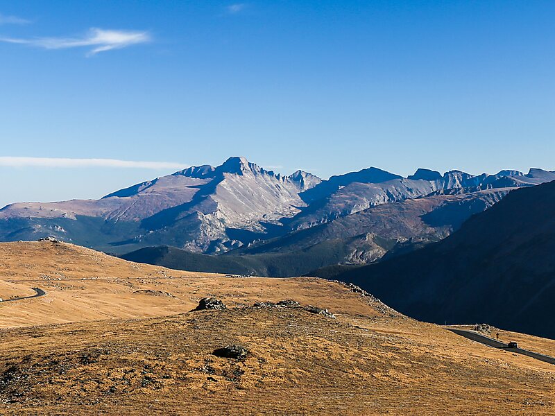
Trail Ridge Road is the name for the 48-mile stretch of U.S. Highway 34 that traverses Rocky Mountain National Park from Estes Park, Colorado in the east to Grand Lake, Colorado in the west. Together with the connecting 6.9-mile Beaver Meadow Road, Trail Ridge Road forms the 55-mile Trail Ridge Road/Beaver Meadow National Scenic Byway, an All-American Road. With a high point at 12,183 feet elevation, Trail Ridge Road is the highest continuous paved road in North America. The higher portion of Trail Ridge Road is closed from October to May.
Source: Wikipedia
更多信息与联系方式
Trail Ridge Road/Beaver Meadow National Scenic Byway – 添加到您的旅行
创建详细的旅行行程,提供智能路线规划、耗时预估以及完美旅行所需的一切。

