
Brockway Mountain Drive
Brockway Mountain Drive is an 8.8-mile-long scenic roadway just west of Copper Harbor in the Upper Peninsula of Michigan in the United… 了解更多…


Brockway Mountain Drive – 添加到你的旅行
创建详细的旅行行程,包含智能路线、时间预估,以及你打造完美旅行所需的一切。




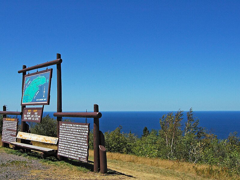
Brockway Mountain Drive is an 8.8-mile-long scenic roadway just west of Copper Harbor in the Upper Peninsula of Michigan in the United States. Drivers can access the road from State Highway M-26 on either end near Eagle Harbor to the west or Copper Harbor to the east in the Keweenaw Peninsula. The drive runs along the ridge of Brockway Mountain on the Keweenaw Fault and climbs to 1,320 feet above sea level, 720 feet above the surface of Lake Superior. Several viewpoints along the route allow for panoramas of Copper Harbor, Lake Superior, and undeveloped woodland. On a clear day, Isle Royale is visible approximately 50 miles in distance from the top of the mountain.
Brockway Mountain was named for Daniel D. Brockway, one of the pioneer residents of the area. The road was constructed by the county road commission with funding through Depression-era work programs in 1933.
Source: Wikipedia
更多信息与联系方式
Brockway Mountain Drive – 添加到你的旅行
创建详细的旅行行程,包含智能路线、时间预估,以及你打造完美旅行所需的一切。