



Hawksbill Mountain
Hawksbill Mountain is a mountain with an elevation of 4,050 feet. Marking the border between Madison County and Page County in Virginia, the… 阅读更多…


Hawksbill Mountain – 添加到您的旅行
创建详细的旅行行程,提供智能路线规划、耗时预估以及完美旅行所需的一切。




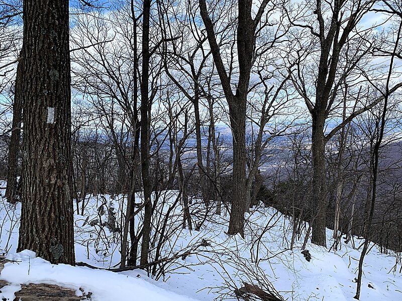
Hawksbill Mountain is a mountain with an elevation of 4,050 feet. Marking the border between Madison County and Page County in Virginia, the summit of Hawksbill Mountain is the highest point in Shenandoah National Park, as well as the highest point in both Madison and Page counties.
The north face of Hawksbill Peak is a 2,500-foot drop into Timber Hollow, which is the largest elevation change in the park. The summit is one of the few places in Shenandoah National Park where one can find balsam fir, a tree more typical of northern New England and southeast Canada.
Source: Wikipedia
更多信息与联系方式
Hawksbill Mountain – 添加到您的旅行
创建详细的旅行行程,提供智能路线规划、耗时预估以及完美旅行所需的一切。

