



Māngere Inlet
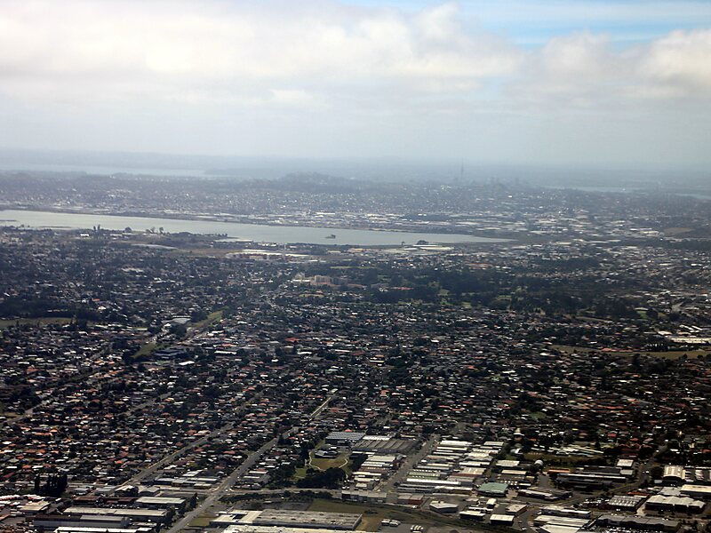
Mangere Inlet is an arm of the Manukau Harbour, the southwestern of the two harbours of Auckland, New Zealand and itself an arm of the… 阅读更多…
Māngere Inlet – 正在规划旅行?
在 Tripomatic 应用中按天构建您的行程。


Mangere Inlet is an arm of the Manukau Harbour, the southwestern of the two harbours of Auckland, New Zealand and itself an arm of the Tasman Sea. The inlet lies between the Auckland isthmus and South Auckland, and has a size of 6.6 km2 and a catchment of 34.5 km2, being considered to extend to just west of Onehunga. It is an environment highly modified by land reclamation and human uses, with the northern shoreline especially affected. However, the inlet also acts as a natural sedimentation sink, thus being especially at risk of contamination.
Source: Wikipedia
更多信息与联系方式


Māngere Inlet – 添加到您的旅行
创建详细的旅行行程,提供智能路线规划、耗时预估以及完美旅行所需的一切。

