
Ka Iwi State Scenic Shoreline
Makapuʻu is the extreme eastern end of the Island of Oʻahu in the Hawaiian Islands, comprising the remnant of a ridge that rises 647 feet… 了解更多…


Ka Iwi State Scenic Shoreline – 添加到你的旅行
创建详细的旅行行程,包含智能路线、时间预估,以及你打造完美旅行所需的一切。




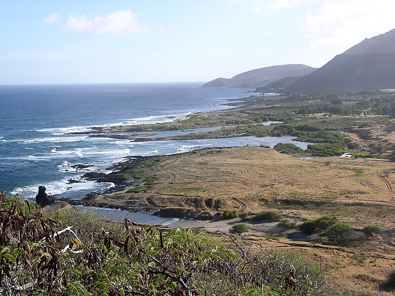
Makapuʻu is the extreme eastern end of the Island of Oʻahu in the Hawaiian Islands, comprising the remnant of a ridge that rises 647 feet above the sea. The cliff at Makapuʻu Point forms the eastern tip and is the site of a prominent lighthouse. The place name of this area, meaning "bulging eye" in Hawaiian, is thought to derive from the name of an image said to have been located in a cave here called Keanaokeakuapōloli. The entire area is quite scenic and a panoramic view is presented at the lookout on Kalanianaole Highway where the roadway surmounts the cliff just before turning south towards leeward Oʻahu and Honolulu.
The Makapuʻu area is reached approximately 2 kilometers east of Waimānalo Beach on Kalanianaole Highway or from the Honolulu side travelling east along the same highway beyond Sandy Beach. The Makapuʻu Point State Wayside Park, a 38-acre roadside park, is about midway up the draw on the right-hand side coming from Hawaiʻi Kai.
Source: Wikipedia
更多信息与联系方式
导览与活动
Ka Iwi State Scenic Shoreline – 添加到你的旅行
创建详细的旅行行程,包含智能路线、时间预估,以及你打造完美旅行所需的一切。

