



Šatrija
Šatrija is a hill and a hillfort in the Samogitia region of Lithuania, near the Pašatrija village, Luokė seniūnija, Telšiai District… 阅读更多…
archaeological sitepeakview point

河畔酒店

Šatrija
2h

转角咖啡馆
45 min
河畔酒店




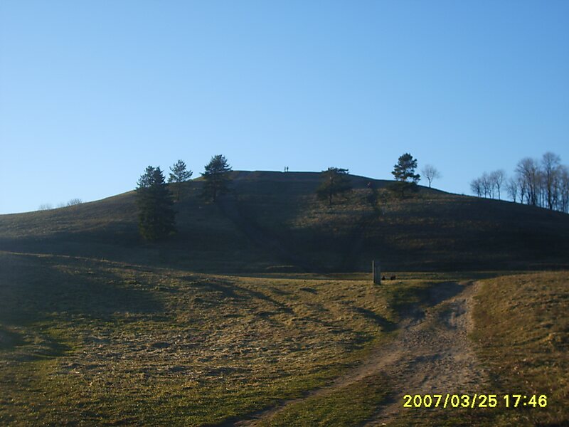
Šatrija is a hill and a hillfort in the Samogitia region of Lithuania, near the Pašatrija village, Luokė seniūnija, Telšiai District Municipality. It is part of the Šatrija Landscape Reserve.
The hill is 228 metres in height and was formed during the last glacial period.
Source: Wikipedia
更多信息与联系方式
地址 88033, Lithuania
坐标 55°52'21.504" N, 22°33'29.221" E
河畔酒店
Šatrija
2h
转角咖啡馆
45 min
河畔酒店