
Mullet Peninsula
The Mullet Peninsula—also known as the Mullet and sometimes as the Erris Peninsula—is a peninsula in the barony of Erris in County Mayo,… 了解更多…


Mullet Peninsula – 添加到你的旅行
创建详细的旅行行程,包含智能路线、时间预估,以及你打造完美旅行所需的一切。




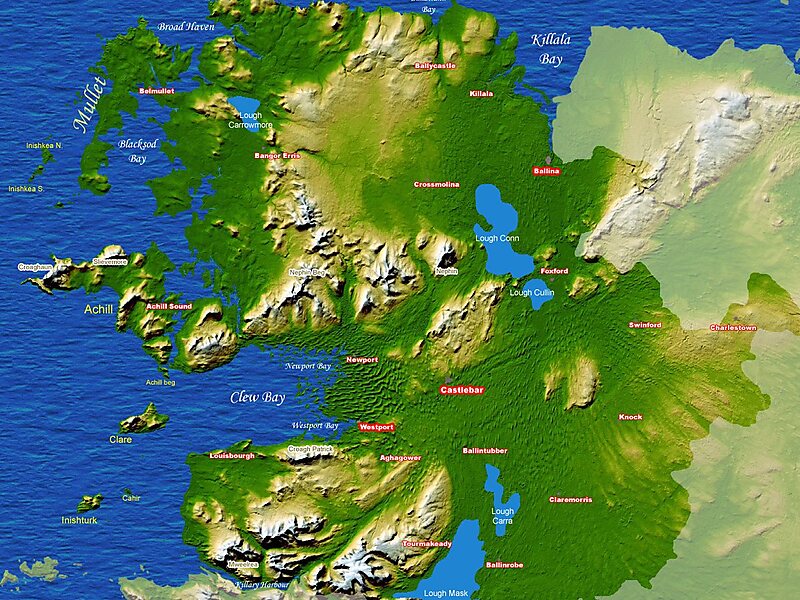
The Mullet Peninsula—also known as the Mullet and sometimes as the Erris Peninsula—is a peninsula in the barony of Erris in County Mayo, Ireland. As of 2016 it has a population of 3963. It consists of a large promontory connected to the mainland at Belmullet, a town of about 1,000 inhabitants, by a narrow isthmus. There are several villages on the Mullet peninsula including Aughleam, Elly, Corclough and Binghamstown. The Peninsula is about 33 km long and ranges from 200 metres to 12 km wide. Its northernmost point is Erris Head. The peninsula's doglegged shape forms two bays, Blacksod Bay and Broadhaven Bay.
The Mullet Peninsula is part of the Mayo Gaeltacht, meaning that Irish is a relatively common language. According to the 2016 census about 8% of the population spoke Irish on a daily basis outside the education system. The area has several Irish-language summer schools.
Source: Wikipedia
更多信息与联系方式
Mullet Peninsula – 添加到你的旅行
创建详细的旅行行程,包含智能路线、时间预估,以及你打造完美旅行所需的一切。