



Simmersberg
The Simmersberg is a mountain, 780.8 m above sea level, near Schnett in the municipality of Masserberg) in the county of Hildburghausen… 阅读更多…


Simmersberg – 添加到您的旅行
创建详细的旅行行程,提供智能路线规划、耗时预估以及完美旅行所需的一切。




The Simmersberg is a mountain, 780.8 m above sea level, near Schnett in the municipality of Masserberg) in the county of Hildburghausen in Germany. It is the main summit of a forked mountain chain, which runs along the boundary between the Thuringian Forest and the Thuringian Highland from Masserberg towards the southwest and is bounded by the valleys of the Schleuse and its tributary, the Biber.
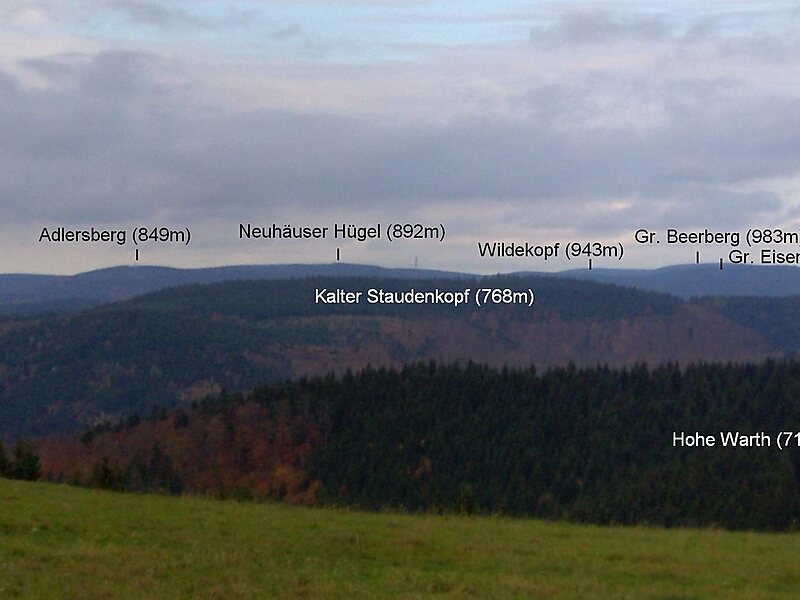
Other subpeaks of the ridge are the Hohe Warth in the west, the Kohlberg in the southwest, the Schnetter Berg in the north and the Höheberg in the northeast. The volcanic origins within the otherwise non-volcanic mountain ridge can be recognised especially well near the Simmersberg and its two 718 metre-high pre-summits.
Source: Wikipedia
更多信息与联系方式
Simmersberg – 添加到您的旅行
创建详细的旅行行程,提供智能路线规划、耗时预估以及完美旅行所需的一切。