
Mt. Akita-Komagatake
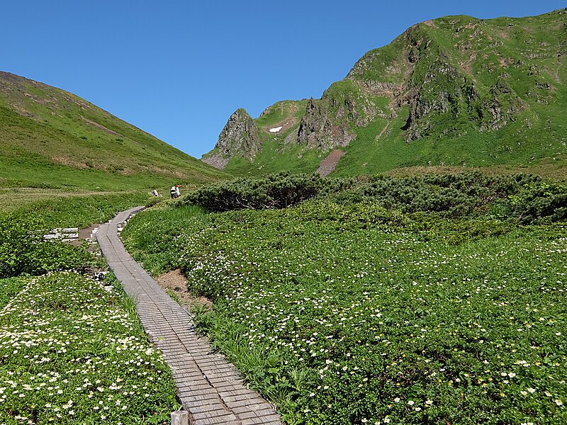
Akita-Komagatake is an active stratovolcano located 10 km east of Tazawa Lake, near the border between Akita and Iwate prefectures on… 了解更多…
volcano

掬茶

Batholith

Koda6029

Koda6029

Yama0904

Koda6029

Koda6029

Riverside Hotel

Mt. Akita-Komagatake
2h

Corner Café
45 min
Riverside Hotel
Mt. Akita-Komagatake – 添加到你的旅行
创建详细的旅行行程,包含智能路线、时间预估,以及你打造完美旅行所需的一切。


300万+ 次下载 · 4.6 星 · 15 年行程规划经验


Akita-Komagatake is an active stratovolcano located 10 km east of Tazawa Lake, near the border between Akita and Iwate prefectures on Honshu Island. The volcano last erupted from 18 September 1970 to 25 January 1971. It is the highest mountain in Akita Prefecture and the second highest in Towada-Hachimantai National Park.
Source: Wikipedia
更多信息与联系方式
地址 Japan
坐标 39°45'11.036" N, 140°47'44.453" E
Riverside Hotel
Mt. Akita-Komagatake
2h
Corner Café
45 min
Riverside Hotel
Mt. Akita-Komagatake – 添加到你的旅行
创建详细的旅行行程,包含智能路线、时间预估,以及你打造完美旅行所需的一切。
300万+ 次下载 · 4.6 星 · 15 年行程规划经验