



Hohe Wurzel
Hohe Wurzel, at 618 m, is the highest peak in the Rheingau-Taunus-Kreis mountain range and the 2nd highest mountain near Wiesbaden, Hesse,… 阅读更多…


Hohe Wurzel – 添加到您的旅行
创建详细的旅行行程,提供智能路线规划、耗时预估以及完美旅行所需的一切。




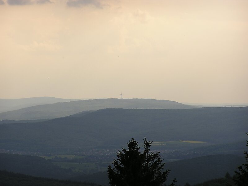
Hohe Wurzel, at 618 m, is the highest peak in the Rheingau-Taunus-Kreis mountain range and the 2nd highest mountain near Wiesbaden, Hesse, Germany. A 133 m reinforced concrete telecommunications tower is located on the peak, which supplies the Rhine Main area and other locations with digital television service as well as DAB and FM sound broadcasts.
In 1883, the Gustav Vietor Tower was built on the peak. It was last used for amateur radio purposes. The tower was demolished in March 2006.
Hohe Wurzel is located in the Rhine-Taunus Nature Park.
Source: Wikipedia
更多信息与联系方式
Hohe Wurzel – 添加到您的旅行
创建详细的旅行行程,提供智能路线规划、耗时预估以及完美旅行所需的一切。